Day 12 4 May Journey into the wilderness, wrecked cars, archery and frozen lakes
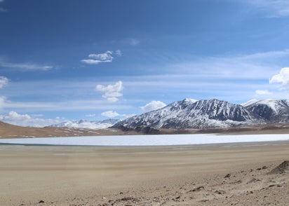
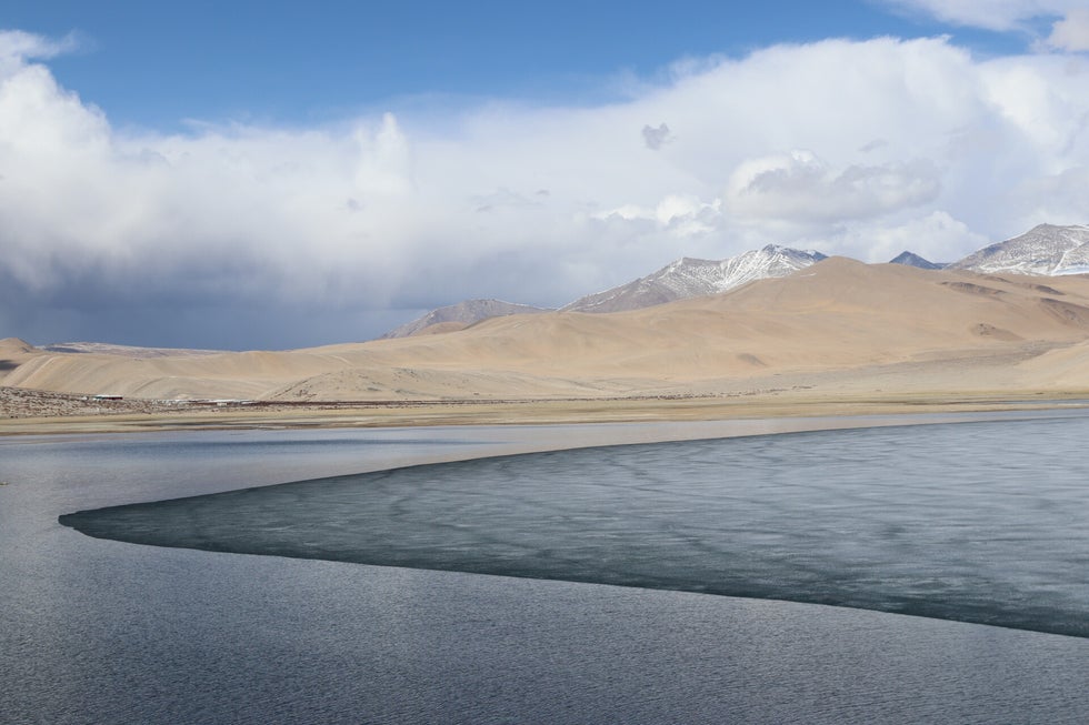
Photo above - Lake Kiagar.
Road trip south east to the Tibetan Plateau
After breakfast we set off on a long 137 mile drive south east from Leh, to Tso Moriri Lake. It was nice to see the sun was out after an overcast day yesterday.
The Tso Moriri Lake is a huge body of water bounded by the Ladakh and Korzok range of mountains, sitting in the Rupshu valley. The Lake is located at 15,000 ft/4500m, near the small village of Korzok (pop 1300), which is one of the highest settlements in the world, and the highest in India.
The area has only recently been opened to outsiders due to it's proximity to the Chinese border, and some Asian visitors from China and others will still not be granted permission to come here. The area is known as Changthang and is part of the Tibetan Plateau. It is a land of wilderness and magnificent landscapes. The region is characterized by high arid plains, remote villages, snow-capped peaks and high altitude azure-blue lakes, the largest being Tsomoriri.
The meadows around the lake are also famous for Changpa tribes who come here in the summer for grazing their Yaks. Camping in their yak wool tents, they are found in large numbers tending to their pashmina goats. They are a semi nomadic people.
This journey used to take up to 10 hours but a resurfaced road was completed last year so the journey time has been more than halved. The lake is about 200 from the Chinese border where there are tensions, hence there are a lot of army camps along the route and why therefore the road was improved.
Following the Indus valley south
Half an hour's drive out of Leh, and once we got a full tank of fuel we were back following the Indus, surrounded by barren brown mountains, with a few spots of green in the valley near the river. There were always a few snow capped mountains visible. As we passed through the town of Karu, we saw a large herd of goats being herded down the street.
At the small town of Upshi we came across our first checkpoint to ensure our papers are in order. Anecdotal evidence is suggesting that the way back on a couple of days over the 12th highest motorable pass in the world maybe blocked by snow. I hope not as I was looking forward to going over another 5000m+ pass.
At Upshi we chose the left fork over a lower pass. After this the traffic almost dwindled to nothing. The land became more barren as we started to ascend the Tibetan Plateau. There were very few settlements, sometimes just the odd couple of houses visible higher up the mountain, or a stupa. I saw another safety slogan sign that I like “Safety on roads, a safe tea at home”.
An empty mountain road...and an archery competition!
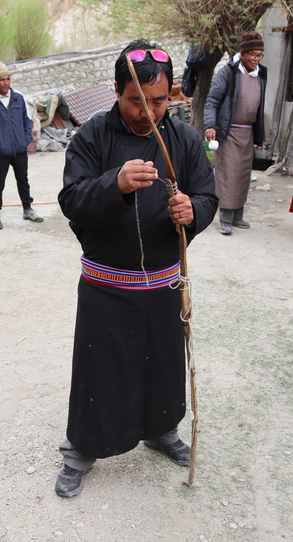
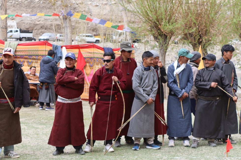
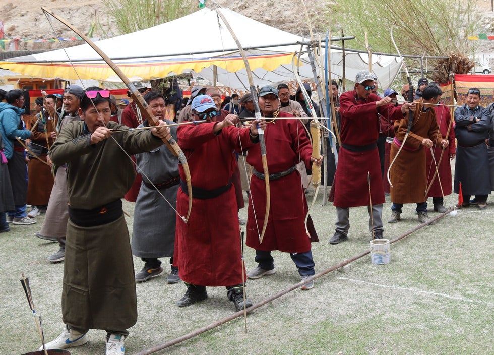
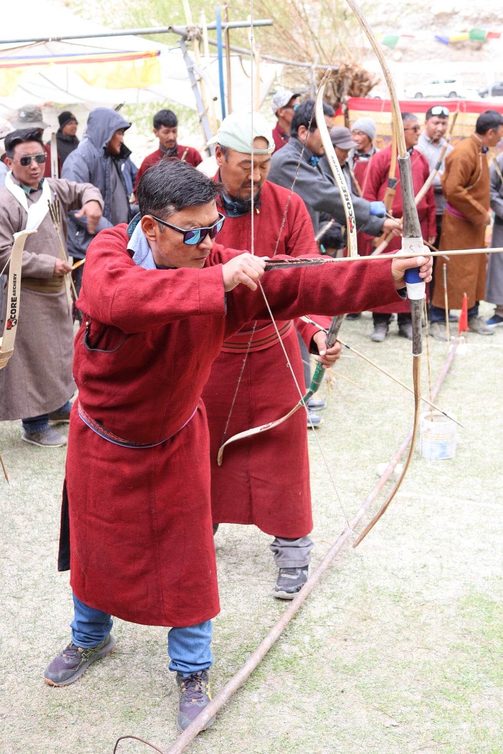
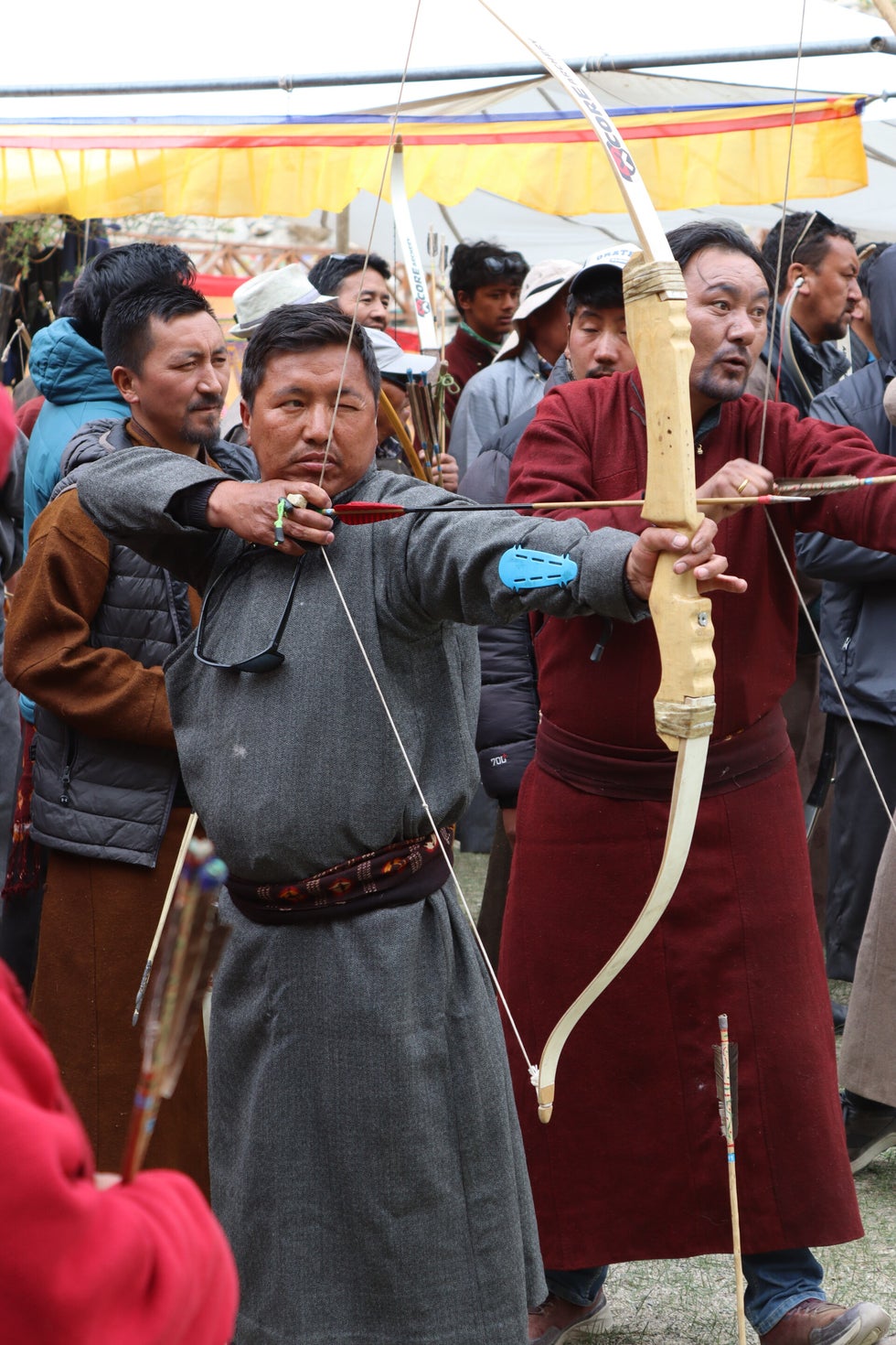
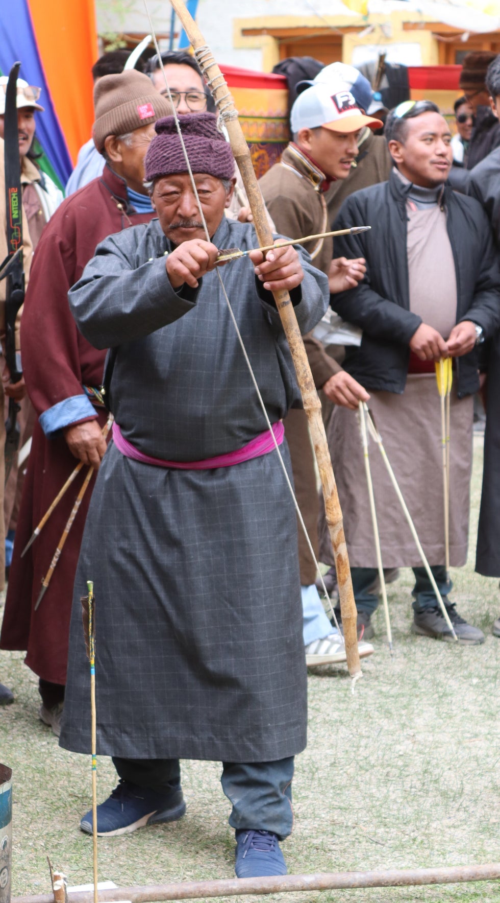
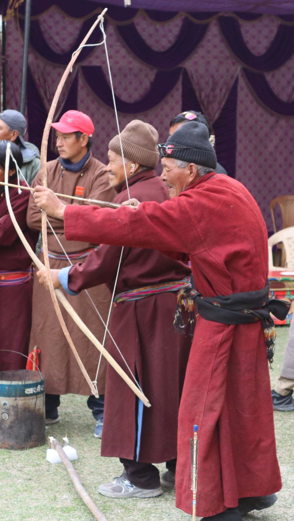
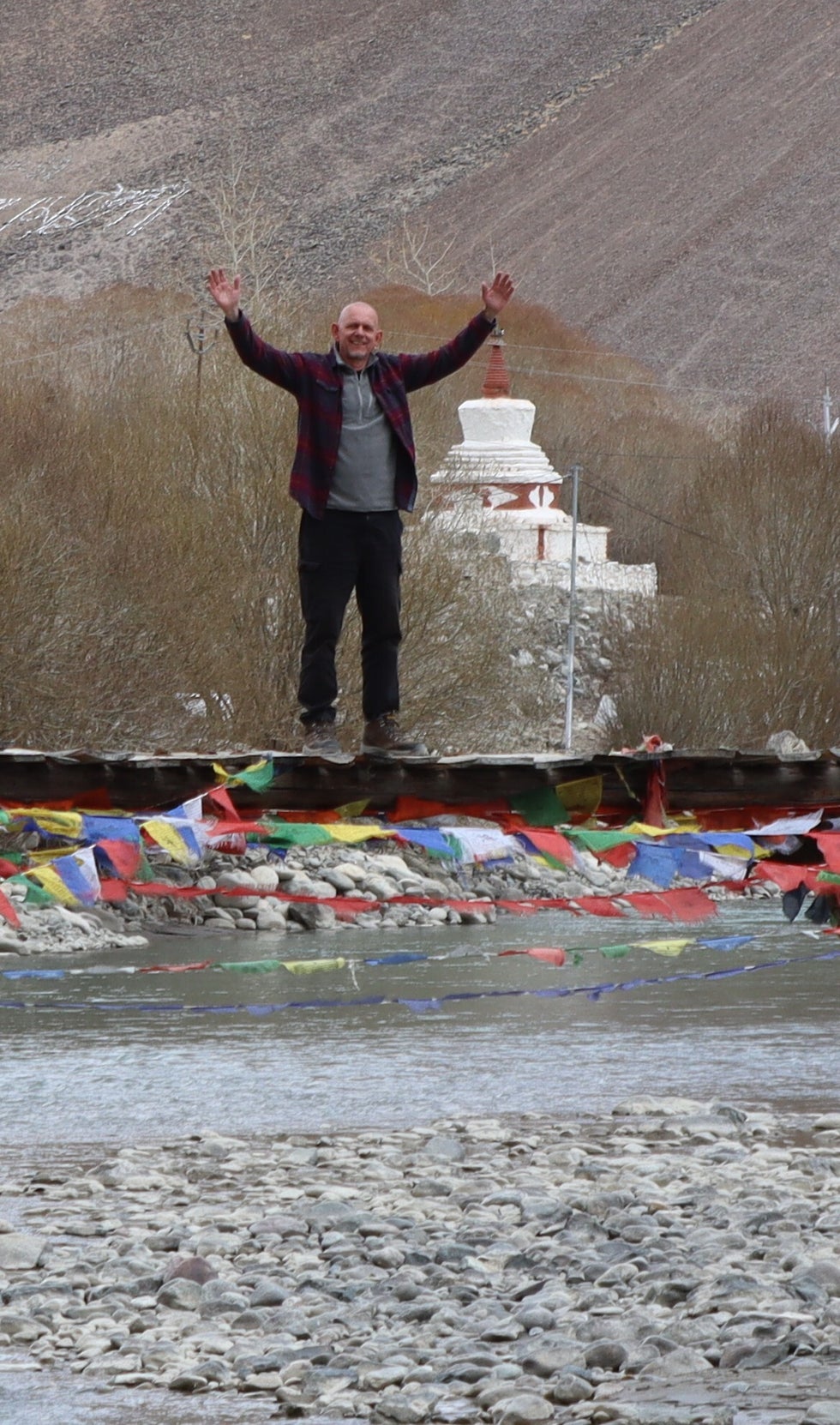
A bit further on, out of nowhere we saw lots of cars parked along the edge of the road, near a precarious looking footbridge. We looked across the river where there were flags and awnings and music drifting across. Our guide instantly realised what it was - an archery competition! The annual Hemiya village archery competition. Archery along with ice hockey are pretty much state sports here.
We crossed the bridge, got a few odd stares initially, and then it the usual welcome we have come to expect. People waving you in, offering you tea and some kind of biscuits, letting us wander around and take photos. We have been so lucky on this trip, although I am sure it helps that there are only two of us.
The event started with schoolchildren having some lessons over a shorter distance from skilled locals and a professional that was there and our guide knew! Then the distance was extended, and the adults started. It was meant to be a competition between two teams, but it seemed to be unorganised chaos to me. People just seemed to push in willy nilly at the line where you fire from, and everyone seemed to be having a go all at once. And there were plenty of arrows that went nowhere near the target board. By this time, the locally brewed Chang had come out, so after a swift cup full, we made our excuses
A stop at the hot spring village of Chumathang
As we continued the landscape became more rocky, and the valley became a gorge. It was also becoming markedly colder as we gained height, although the sun remained out. At one point we saw some wild dogs eating a horse carcass. Next we stopped at the tiny village of Chumathang, which because it has a tiny hot spring, does have people stopping and so does have a couple of cafes. We stopped for a light lunch of rice vegetables and Dahl. I am not sure that the hot spring is being exploited fully commercially, but then not sure how many pass this way in a week.
Over the Namshangla pass
Once we left the village the landscape was completely empty of human settlement. We saw some wild ponies called Skiang, and a few Himalayan Griffin (vulture). Then we came to another checkpoint. Here we turned right over a rickety bridge, and on to a minor single track road which will take us to our destination.
A little way along this road we passed a small Tibetan refugee village called Sumdho. We then started ascending the Namshangla pass which is 4835m high. On the way up we came across a car that had gone over the edge at one of the many switchbacks. It must have been quite recent as the indicators were still going. We checked that no one was inside then carried on.
What no water?
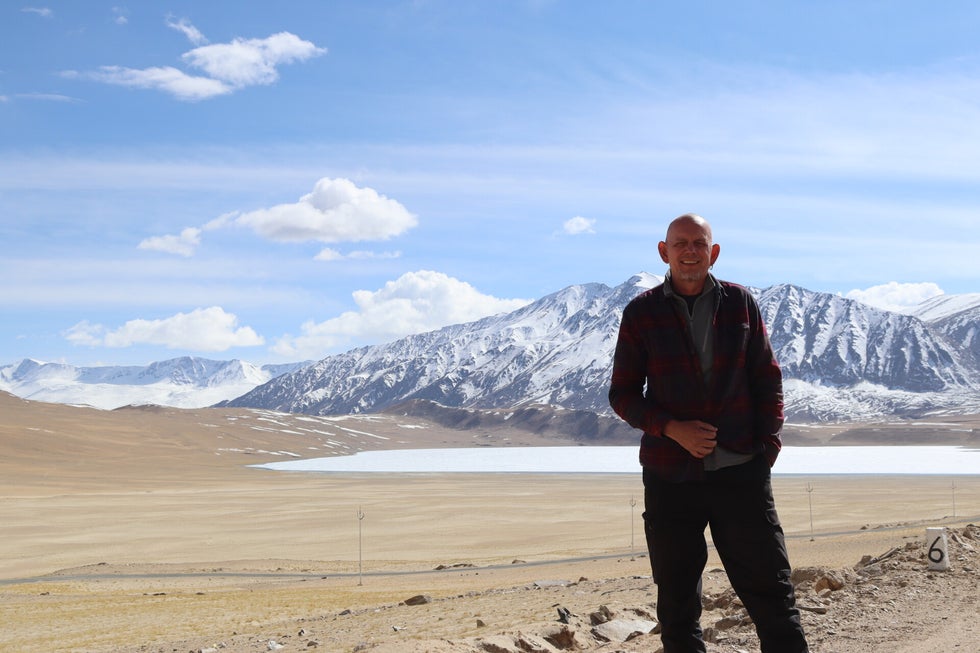
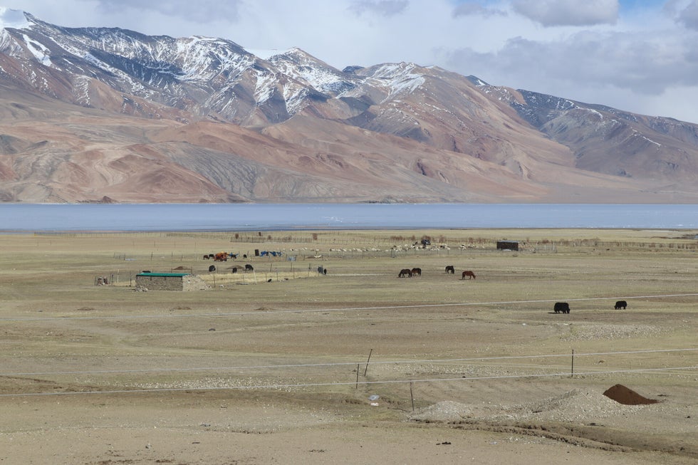
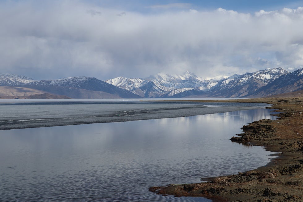
We came across a small lake just before Tso Moriri lake where we are staying, and it was completely frozen over. This is very unusual for this time of year. A little further on and we reached the main lake. It is 20km long by 8km wide and even this was mostly frozen. There are nomads around here, and we saw the huts that the Indian government have provided for them over the winter months by the lake. They have not yet gone higher up for the pasture as the snow is still hanging around, along with fresh falls.
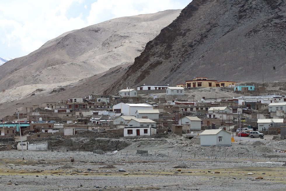
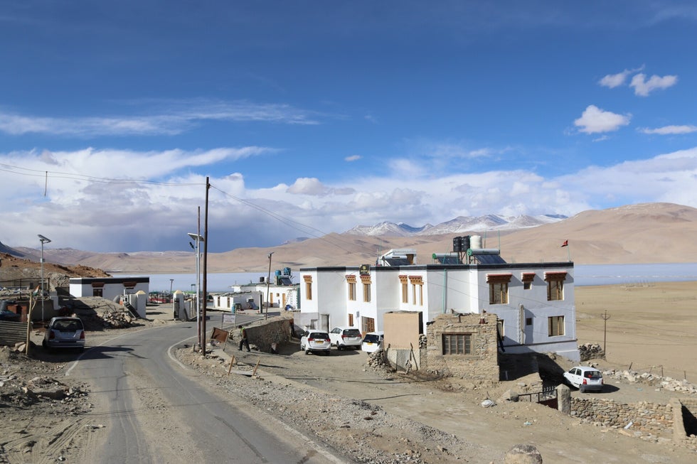
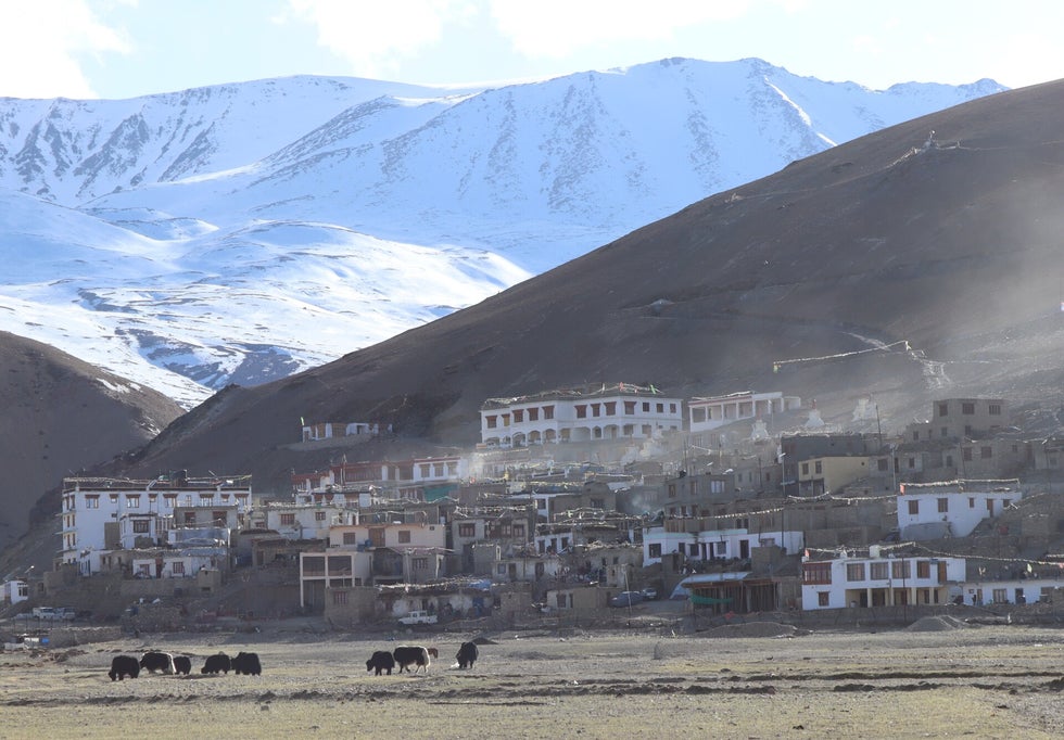
The 15the highest settlement in the world
We are staying at the tiny village of Korkoz right near the lake, which is one of the highest settlements in the world, and the highest in India. One we checked in we had a quick walk round the village, and then down to the lake side. It is a beautiful wilderness here, but it is so cold. And the hotel does not have heating. And the electricity is not on for most of the day. And I think it might be -10c tonight. And the wind is howling outside. I have four layers on and am shivering as I write this! They did come round with a hot water bottle though! At dinner everyone was wearing coats, hats, several layers etc.
Tomorrow, we explore more of the area, and look out for nomads. We have another here, so I hope it warms up!

Goatherd driving her flock through the streets of Karu
Specialists in hill starts
A choice of routes at Upshi

River Indus cutting through the rock

Bridge over Indus at Hemiya where the archery took place


The panel
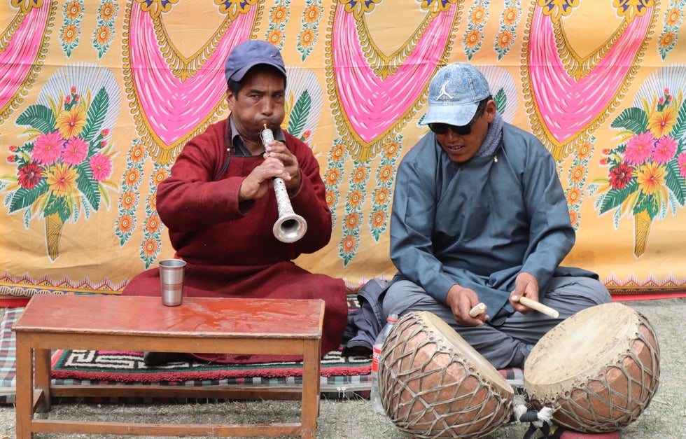
The band

Discussing tactics

The professional

Lovely colours as we ascend further towards the Tibetan Plateau


The hotel spring itself at Chumathang
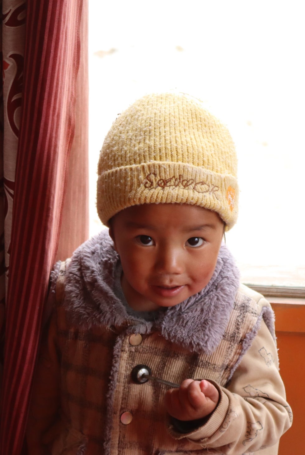
Child at the cafe we stopped at in Chumathang
Rickety bridge near Chumathang
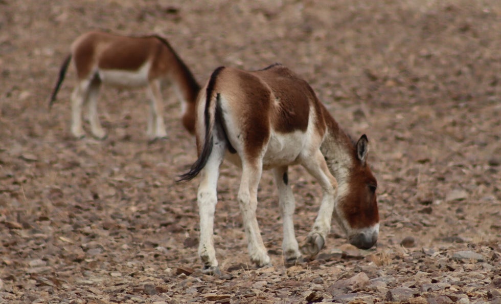
Wild ponies also found in Tibet...Skiang
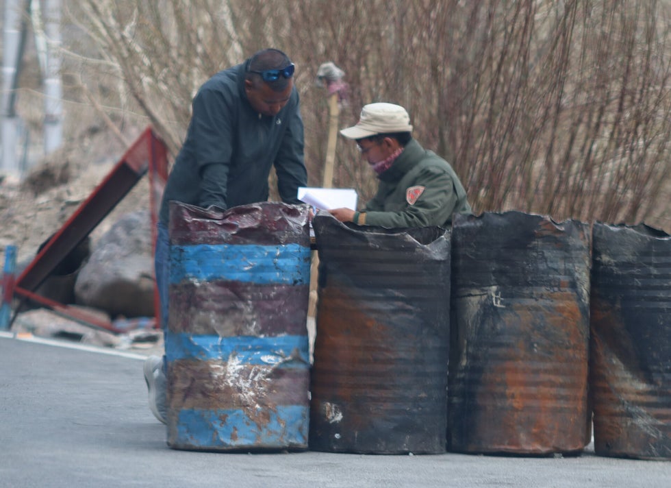
Checking papers at a checkpoint, basically three barrels in the road
Sumdho Tibetan refugee village
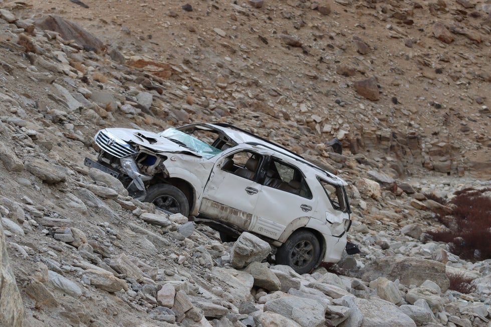
Wrecked car on mountain pass
Top of Namshangla pass

Road from top of pass
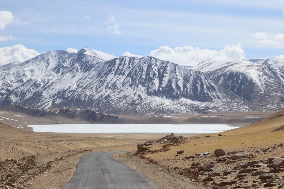
Kiagar Lake, not usually frozen at this time of year
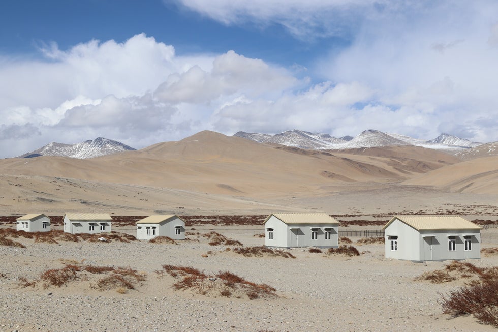
Government built huts for nomads
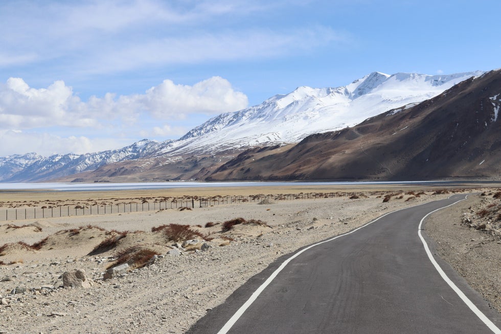
Road to lake Tso Moriri
Lake Tso Moriri
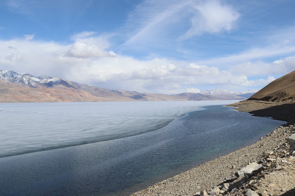
Lake Tso Moriri
View from my hotel window in Korzok
Hotel in Korzok

Rug making on a roof in Korzok village

A yak near Lake Tso Moriri
Lake Tso Moriri
Looking back to Korzok village from the lake
Create Your Own Website With Webador