Day 9 - 1 Oct a drive north into the mountains and high altitude again

Photo above - solar powered train in the Humahuaca valley.
Heading north into a new state
After breakfast, we headed off at 8am to drive north 110 miles to a small village in the mountains called Purmamarca, which lies at 2324m above sea level. We left the city and joined the National Route 9, a dual carriageway with a reasonable road surface, and entered a lush area with gently rolling forested hills. Later the scenery flattened out, but with mountains appearing in the distance. We had turned on to the National Route 34 by now.
We crossed several police checkpoints as we crossed from Salta State to Jujuy State. We got stopped briefly by one, but they just cheked the driver's papers. This is quite a poor state. The first town we came to was very industrial.
Ascending into mountains again
After an hour and 45 minutes, we turned north west towards the mountains. After travelling for two hours we arrived at the state capital San Salvador de Jujuy, and stopped for a quick break. When we set off again to continue north, we rejoined the NR9 dual carriageway.
About 15 minutes after leaving the city, we entered a rain forest area. Monkeys and birds are prevalent, and locals use it as a recreational area in the dry season which is June to December. It is closed for the other six months.
We started ascending through the rain forest, crossing huge dry river beds, and slowly, the vegetation became sparser, as we got higher. Although mild, it was still very overcast. We then did a series of switchbacks and went over a pass. Suddenly over the other side, there was blue sky and sun.
Pucara Pre Inca ruins
We arrived at a small town called Volcan first, then on to the town where will be staying tonight, Purmamarca, and finally Tilcara (2465m/6500 pop), where we stopped to visit the ancient pre inca hilltop fortress ruins of Pucara, which dates back to the 12th century and were eventually settled by the Incas in the late 15th century, before the domination by the conquistadores. These ‘ruins’ have actually largely been rebuilt, but from the original stones of the ruins.
We stopped at the small town of Maimara to take a picture of the cemetery there. Next we continued driving north up the valley to the small town of Humahuaca (3000m/11500 pop). The road, a river and a railway all follow this route mostly travelling in parallel. The railway will ultimately link Buenos Aires to Bolivia, but at the moment there is only a short stretch running in this area, used by a small solar powered passenger train.
Humahuaca
On arrival at Humahuaca we had a small snack in a tiny cafe, then walked up to the top of the new independence monument they have here to see the views. Afterwards looked around the nice central square and surrounding pedestrian lanes. There were some nice buildings, and a bit of street art, but there were just too many stalls and shops selling tacky souvenirs.
From here, we drove about an hour or so back down the valley to the village of Purmamarca. This is a little cactus-strewn village with a population of just 2,000, which sits in a striking location underneath a multi-hued mountain called the Seven-Coloured Hill.
Tomorrow, we visit some salt flats, and do a hike through an area where there is a lot of coloured rock.
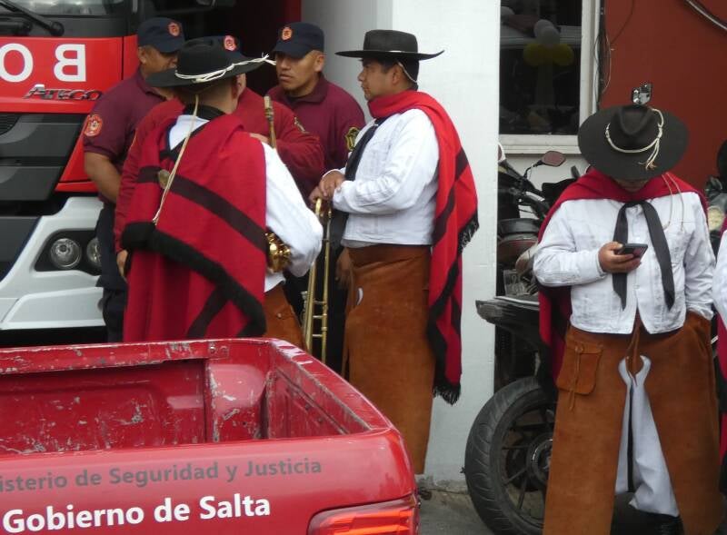
A bit of a do on at the fire station in Salta
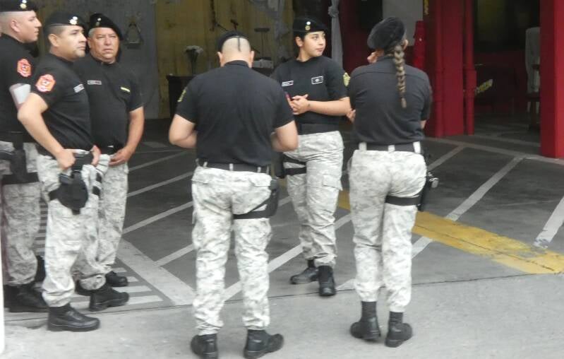
A bit of a do on at the fire station in Salta
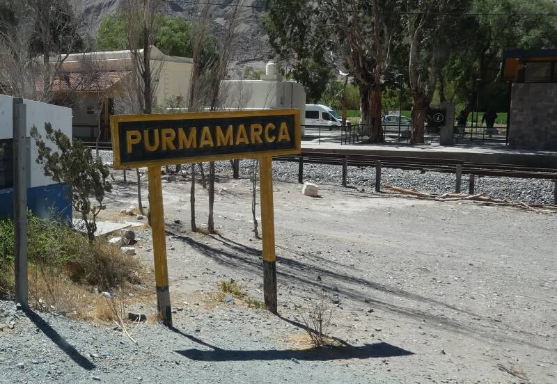
Our home for next two nights
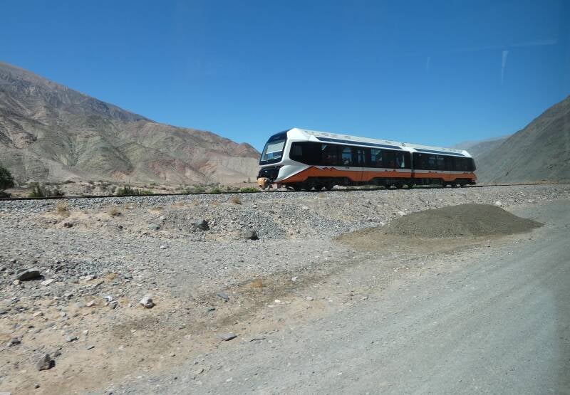
Solar train in Humahuaca valley
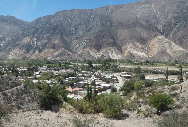
Humahuaca valley
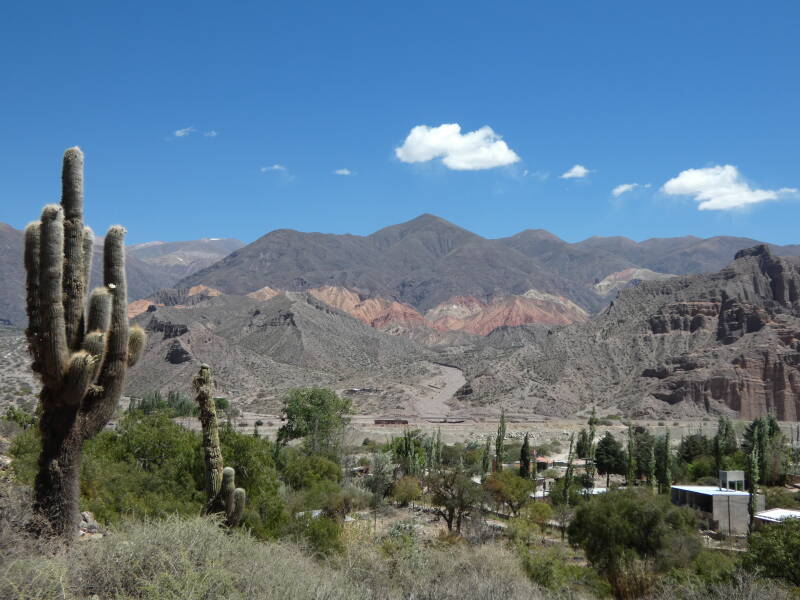
Humahuaca valley
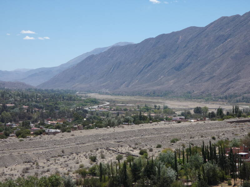
Humahuaca valley
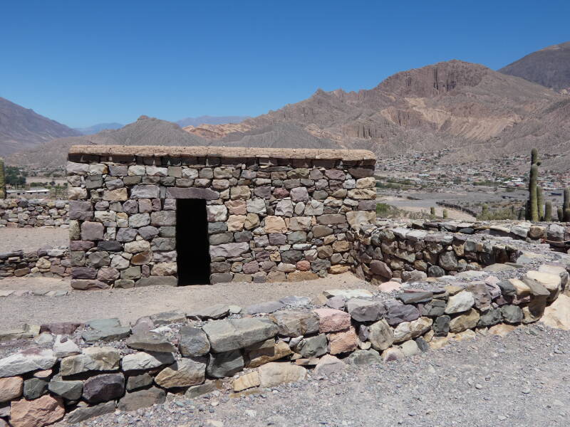
Pre Inca ruins
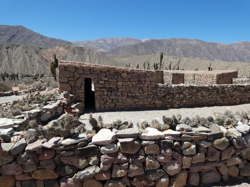
Pre Inca ruins
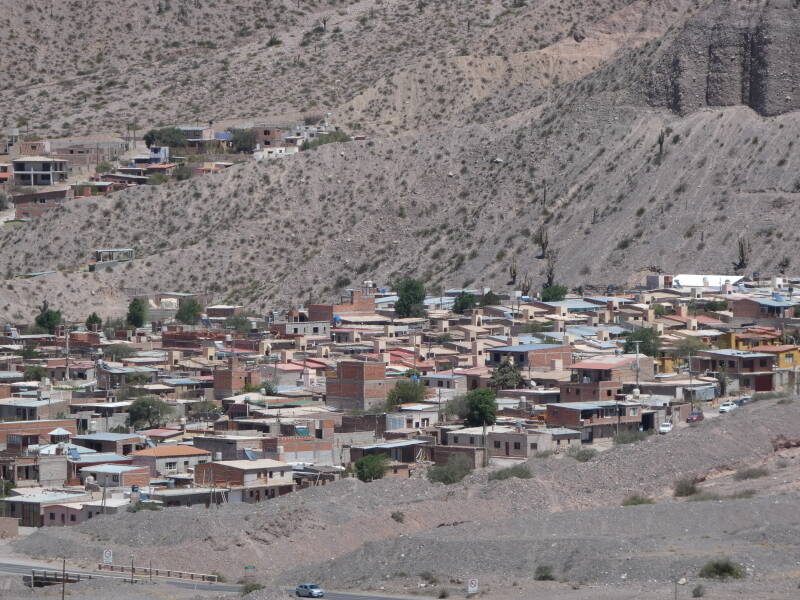
Village from the Pre Inca ruins
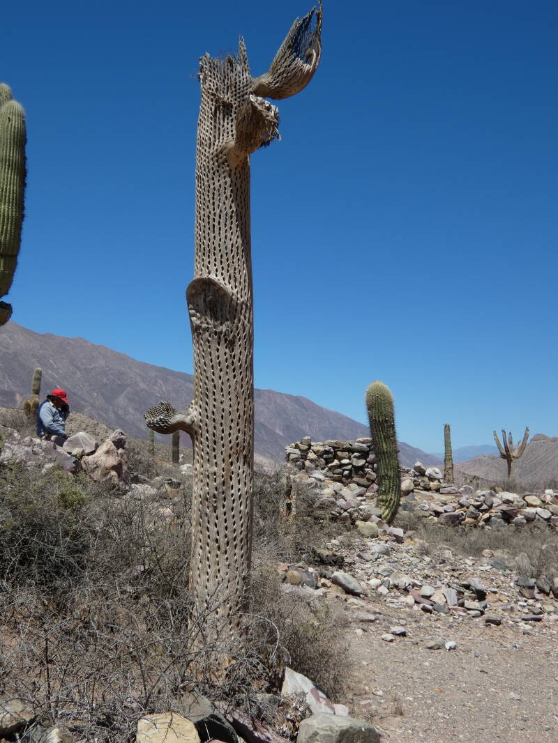
When a cactus dies, what is left after the fleshy bit rots is the wood inside. This is used to make furniture and ornaments here
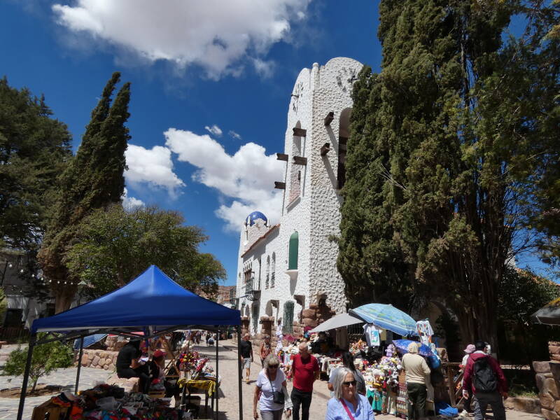
Humahuaca
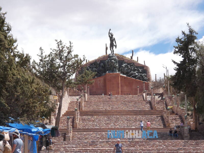
Humahuaca memorial
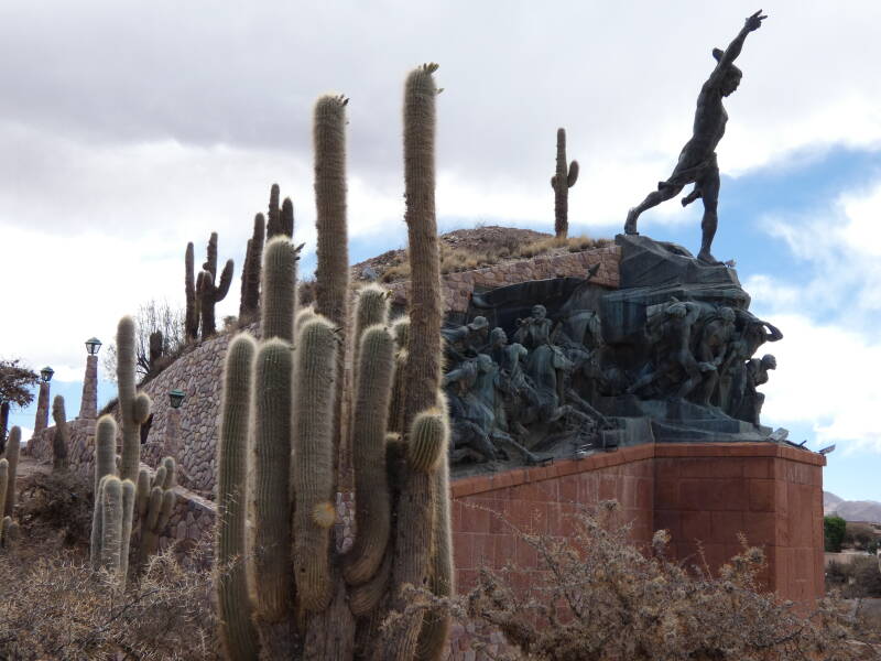
Humahuaca memorial
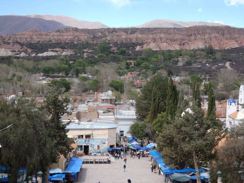
View from Humahuaca
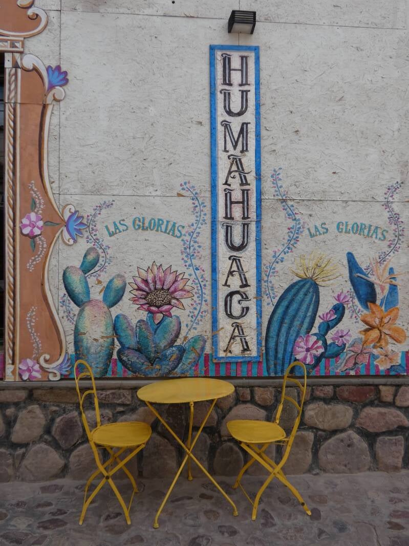
Humahuaca
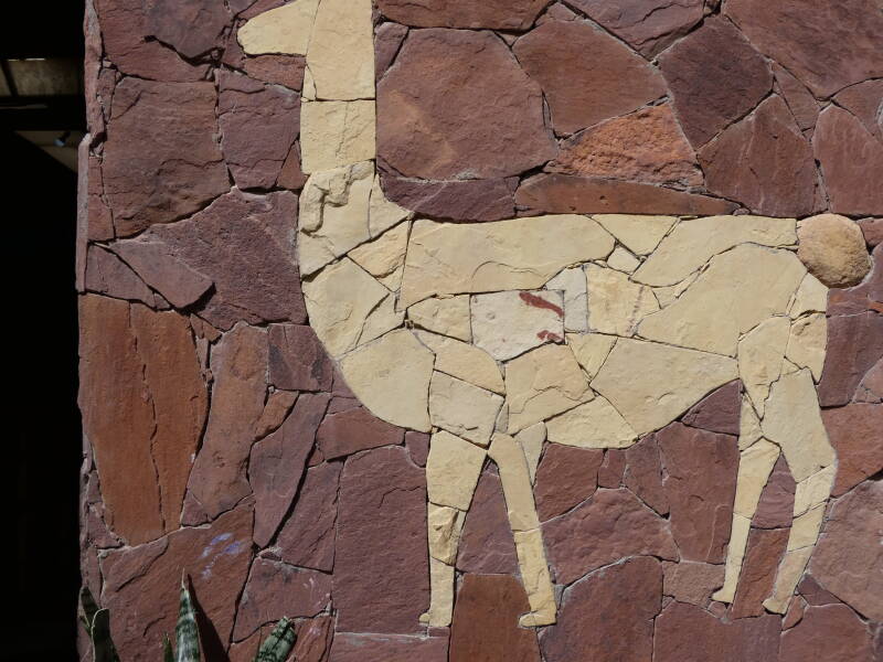
Humahuaca
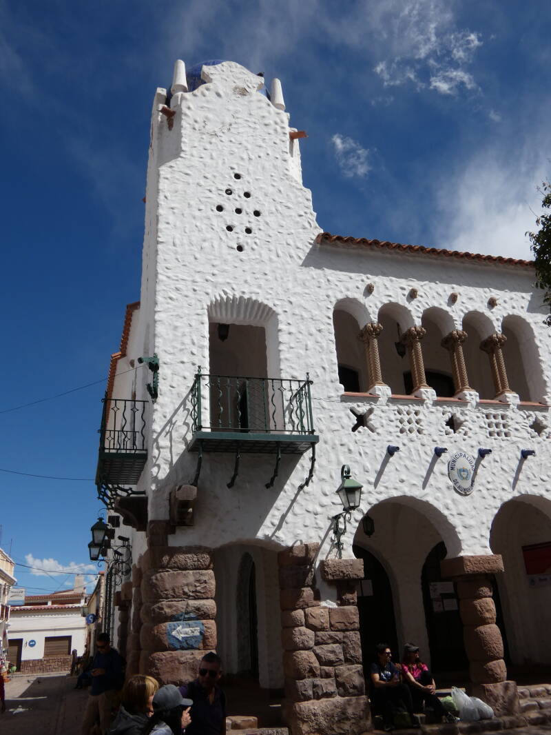
Humahuaca
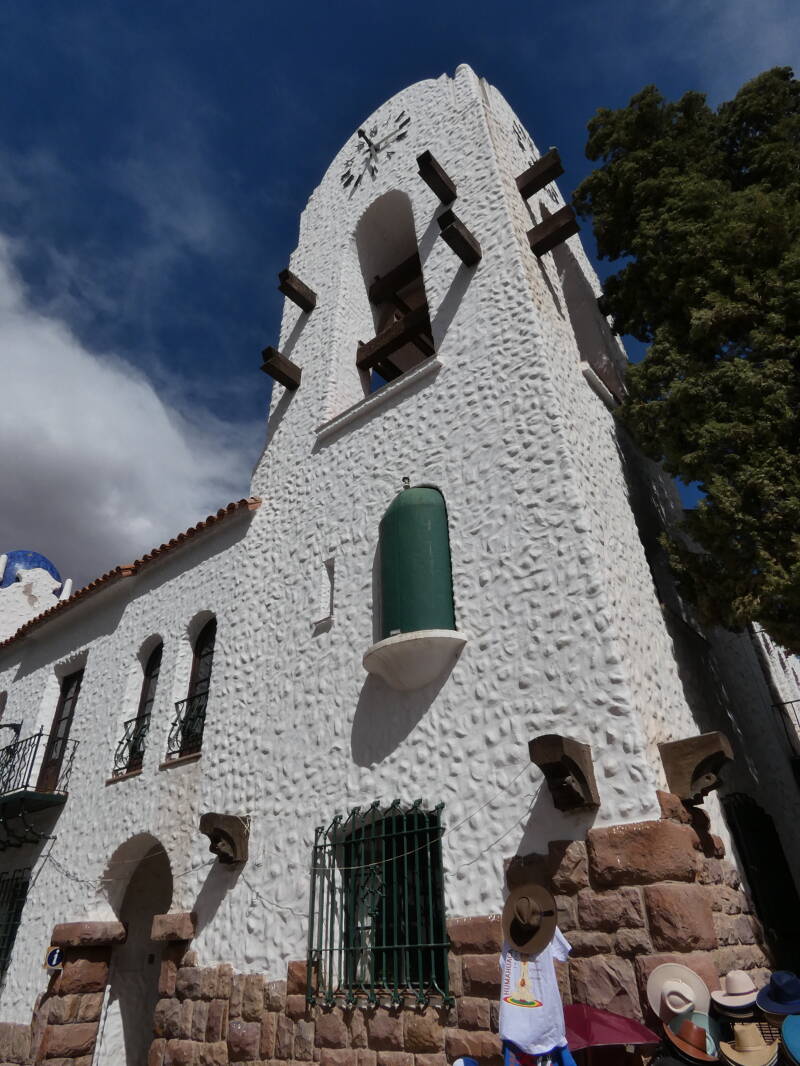
Humahuaca
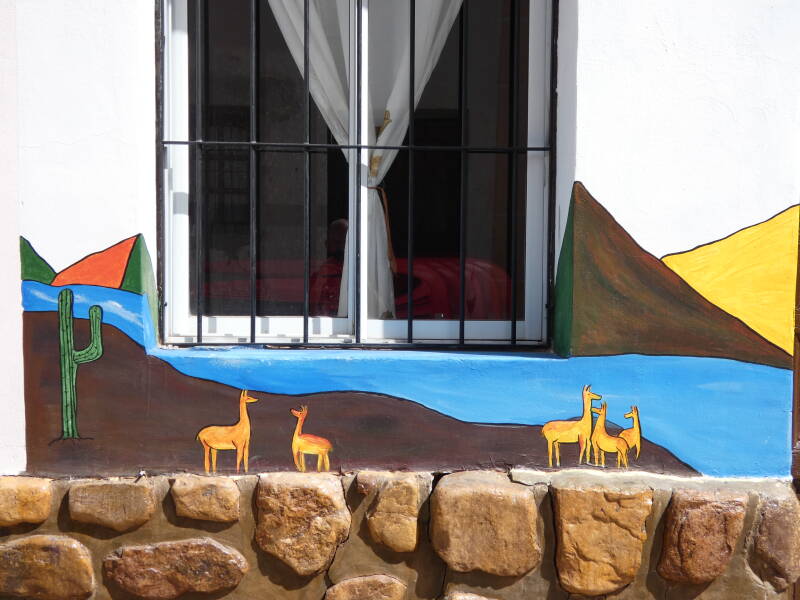
Humahuaca
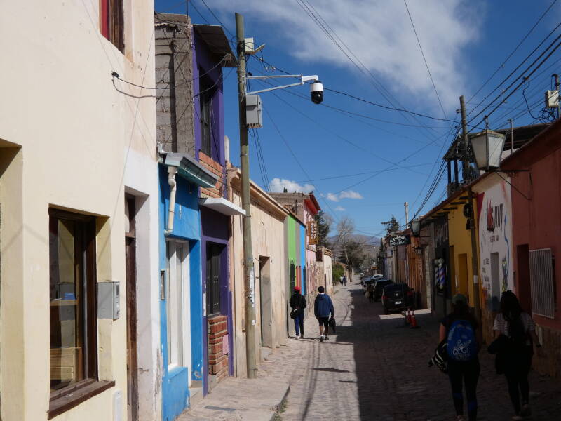
Humahuaca
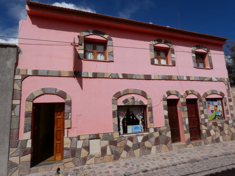
Humahuaca
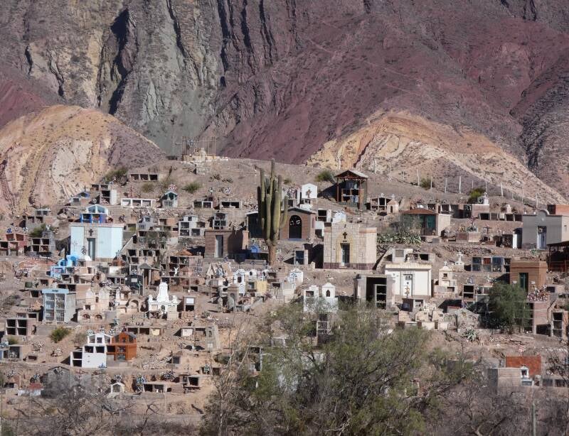
Cemetery at Maimara
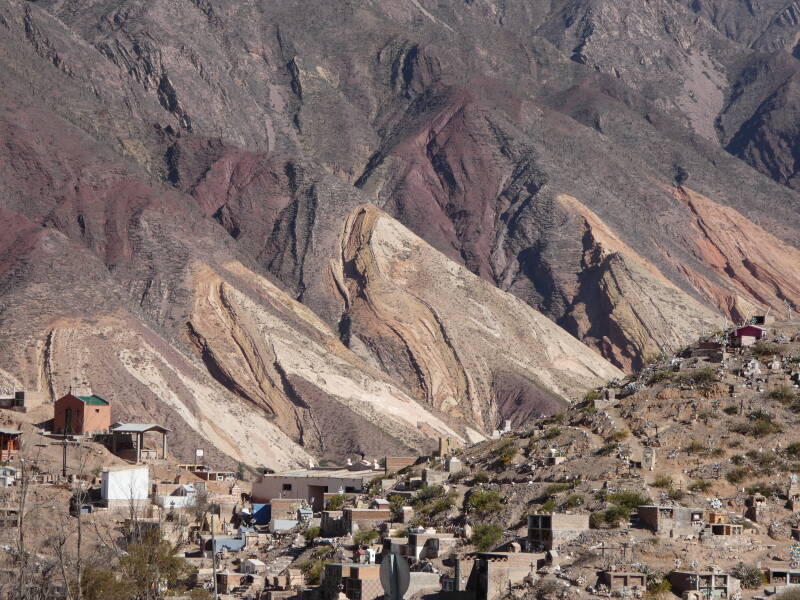
Rock formations at Maimara
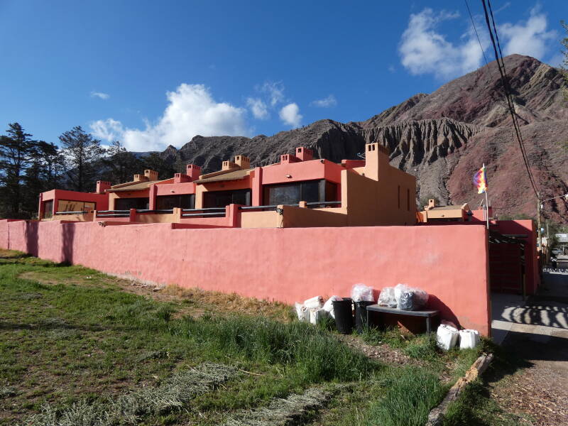
Our hotel at Purmamarca
Create Your Own Website With Webador